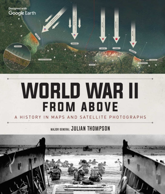
World War II From Above : A History in Maps and Satellite Photographs
Usually shipped within 24 hours
UK deliveries from £5.95
Delivery & Returns
Delivery & Returns
We use the Royal Mail, DHL Express or UPS for our customers. For UK addresses, deliveries under 10kg are a standard £4.95 via Royal Mail Tracked 48 Service. For orders over 10kg and overseas customers, postage is calculated for you at checkout once you have entered your postal address. This price, does not include any potential custom charges that may apply, depending on the product or destination, as every country has very different import duties / taxes. Online exclusive products (such as trainers) will be delivered to you directly from the printer, separate from other items in your order, but your postage fee covers ALL items in your order.
If you are unhappy with your purchase, please email shop@tankmuseum.org within fourteen (14) working days of receiving your goods, and return it to us at the address below, in its original condition, unopened (with any seals and shrink-wrap intact) and we will issue you a full refund or replace it. Goods must be returned at your own cost. If the item is faulty, you do not need to return it, we will send you a replacement free of charge.
Description
Description
By Julian Thompson
Hardback
These extraordinary views and analyses of historic battles use modern satellite images alongside specially commissioned maps.
World War II from Above pairs modern satellite photographs with expertly illustrated historical battle maps. These captivating images bring the war vividly and dramatically to life by showing the actual landscapes where battles took place alongside annotations depicting troop movements, heroic last stands, and other notable events.
Here you will find all the key milestones of World War II: the invasion of France, Germany's first blitzkrieg offensives, the Battle of El Alamein, the invasion of Sicily, the Battle of the Bulge, Iwo Jima, the D-Day landings, and the final push to Berlin, along with a host of other strategic and battle maps from every geographical location.
![World War II From Above : A History in Maps and Satellite Photographs Book [variant_option4]](http://tankmuseumshop.org/cdn/shop/files/9781645175742.jpg?v=1726823966&width=1214)

![World War II From Above : A History in Maps and Satellite Photographs Book [variant_option4]](http://tankmuseumshop.org/cdn/shop/files/9781645175742.jpg?v=1726823966&width=88)
![Tank Museum Playing Cards Game [variant_option4]](http://tankmuseumshop.org/cdn/shop/files/ProductShoot_10_10_2025035.jpg?v=1760358498&width=176)
![Tank Museum Wrapping Paper - Two sheet pack Wrapping Paper [variant_option4]](http://tankmuseumshop.org/cdn/shop/products/Wrapp_Paper_All.jpg?v=1748337915&width=176)
![World War II From Above : A History in Maps and Satellite Photographs Book [variant_option4]](http://tankmuseumshop.org/cdn/shop/files/9781645175742.jpg?v=1726823966&width=640)


